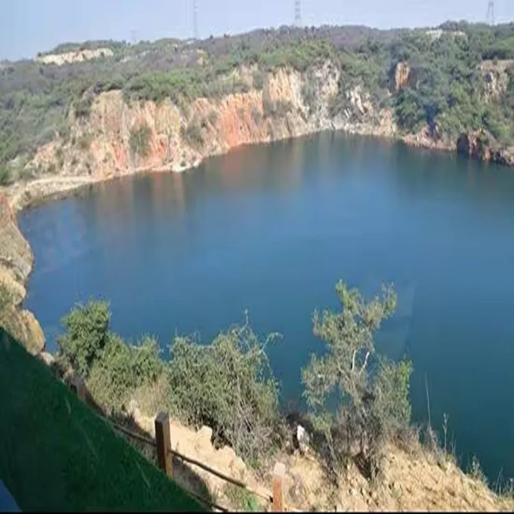
Conservation – Scientific Management Plan Approved for Asola Bhatti Sanctuary Overhaul
Conservation – A comprehensive management blueprint grounded in scientific research has been cleared for the Asola Bhatti Wildlife Sanctuary, marking a decisive move toward evidence-based conservation practices. The plan, spanning from 2024–25 to 2034–35, was finalised with technical support from the Wildlife Institute of India and received approval in December. Officials say the initiative replaces earlier estimation-based approaches with structured data collection and analysis to better understand the sanctuary’s ecological health.
Detailed Surveys Lay Foundation for Policy Decisions
As part of the new framework, extensive field studies have been conducted to establish a reliable ecological baseline. A systematic bird survey carried out in 2024 documented 121 species belonging to 46 families. Researchers used established techniques such as line transects and point count methods to ensure accurate observations across different zones of the sanctuary.
Butterfly diversity was also assessed through a focused survey conducted between September and November. This exercise recorded 53 species, highlighting the variety of microhabitats present in the region. Experts note that butterflies serve as important indicators of environmental quality, making these findings particularly valuable for long-term monitoring.
Camera Traps Improve Mammal Monitoring Accuracy
For the first time, a structured mammal survey using camera traps was conducted between April and June 2024. More than 20 cameras were strategically installed across various habitats to capture wildlife activity. The study identified around 23 mammal species, including 18 wild animals and five that were either stray or domesticated.
Officials emphasised that previous estimates were largely based on visual sightings, which often lacked consistency and precision. The use of camera traps has significantly improved the reliability of data, enabling better tracking of species presence and movement patterns within the sanctuary.
Satellite Data Reveals Vegetation Imbalance
Advanced satellite imaging has also been incorporated into the planning process. Analysis using Landsat-8 imagery revealed a striking dominance of the invasive plant species Prosopis juliflora, which covers approximately 63.48% of the sanctuary’s area. In contrast, native vegetation such as dhok accounts for only about 0.26%.
This imbalance is considered a major ecological concern, as invasive species can disrupt local biodiversity and alter habitat conditions. The findings have prompted a targeted response within the management plan to restore native plant cover and improve habitat quality.
Restoration Measures Focus on Long-Term Sustainability
The approved plan outlines a phased strategy to control the spread of invasive species while encouraging the regeneration of indigenous flora. Efforts will include selective removal of non-native plants and the introduction of drought-resistant native species suited to the region’s climate.
In addition, soil and water conservation measures form a key component of the strategy. Scientific surveys of soil composition and water resources have been conducted to establish baseline data, which will guide restoration and maintenance efforts in the coming years.
Data-Driven Approach Signals Shift in Conservation Strategy
Authorities believe that this scientifically structured plan represents a significant shift in how protected areas are managed. By relying on verified data rather than assumptions, the sanctuary’s administration aims to create more effective and measurable conservation outcomes.
The integration of field surveys, remote sensing, and ecological analysis is expected to not only improve biodiversity protection but also enhance resilience against environmental challenges such as climate variability and habitat degradation.