
MonsoonAlert – Mumbai Braces for Thunderstorms, Heavy Rain Ahead of Monsoon Arrival
MonsoonAlert – Mumbai is likely to witness a spell of unsettled weather over the next few hours as authorities have issued an orange alert for parts of the city. According to information shared by the Brihanmumbai Municipal Corporation (BMC), based on forecasts from the India Meteorological Department (IMD), residents can expect thunderstorms, lightning activity, moderate to heavy rainfall, and gusty winds reaching speeds of up to 40 kmph in isolated locations.
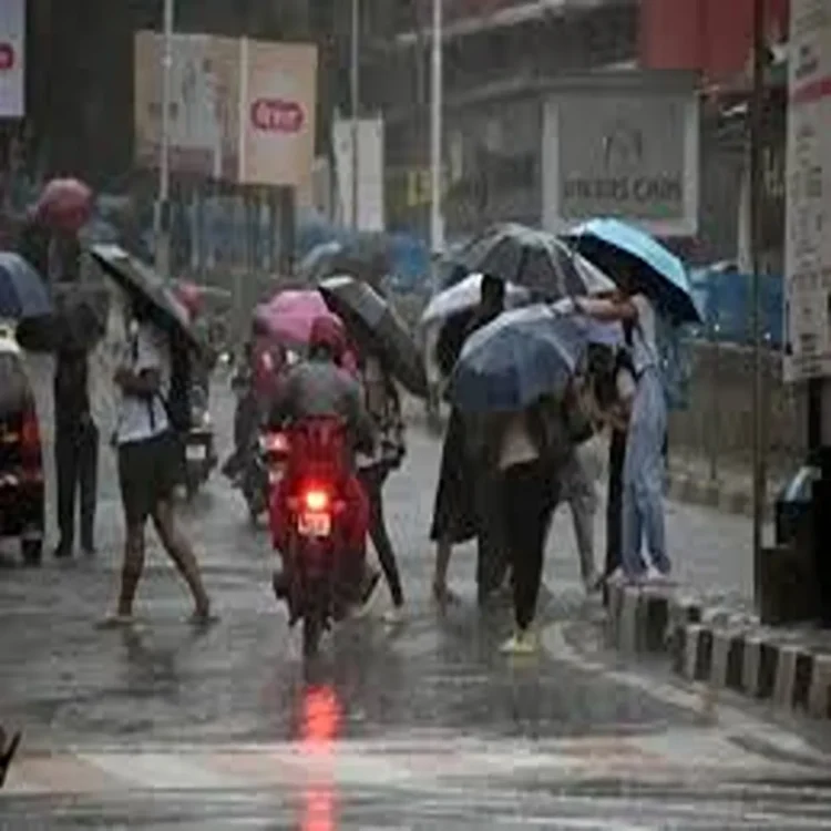
Orange Alert Issued for Parts of Mumbai
The latest nowcast warning indicates that weather conditions across several areas of Mumbai may remain active through the day. Civic officials have urged people to remain cautious, particularly during periods of intense rainfall and thunderstorm activity. Commuters and residents have been advised to stay updated on local weather advisories and avoid unnecessary exposure during severe weather conditions.
Morning Showers Bring Relief and Disruptions
Several neighbourhoods, including Bandra East, received pre-monsoon showers on Monday morning. The rainfall was accompanied by thunder and lightning, offering temporary relief from the recent spell of hot and humid weather. However, the showers also led to water accumulation on roads in some locations, resulting in traffic slowdowns and minor disruptions to daily movement.
Monsoon Arrival Expected Soon
Meteorologists have indicated that the southwest monsoon is likely to reach Mumbai either later on Monday or by Tuesday. The official declaration of monsoon onset will be made only after all required meteorological conditions are fully satisfied. Weather experts continue to monitor atmospheric developments closely before confirming the seasonal transition.
Monsoon Advancing Across Several States
In its latest bulletin, the IMD stated that conditions are favourable for the further advancement of the southwest monsoon into additional parts of Maharashtra, Telangana, Odisha, Jharkhand, Bihar and sections of Chhattisgarh around June 23. The progress of the monsoon is expected to improve rainfall activity across these regions in the coming days.
Heavy Rainfall Forecast for Eastern and Northeastern Regions
The weather department has also warned of continued very heavy to extremely heavy rainfall across northeastern India until June 25. Similar conditions are expected over Sub-Himalayan West Bengal and Sikkim through June 22, raising the possibility of localised flooding and travel disruptions in vulnerable areas.
Heatwave Conditions Persist in Several States
While many regions prepare for increased rainfall, parts of central and northern India continue to face intense heat. The IMD has predicted heatwave to severe heatwave conditions over Vidarbha, East Madhya Pradesh and East Uttar Pradesh for the next four to five days. Chhattisgarh may experience heatwave conditions for up to three days, while Telangana is likely to remain under similar conditions for the next two days. Parts of Madhya Maharashtra and Marathwada are also expected to remain unusually hot.
Rainfall Activity Set to Intensify Over Konkan Region
The forecast suggests scattered rainfall over Konkan and Goa during the initial phase of the week, with weather activity expected to strengthen significantly between June 23 and June 27. During this period, many areas may experience widespread rainfall as the monsoon gains momentum.
Strong Winds and Thunderstorms Likely
The IMD has further predicted isolated thunderstorms accompanied by lightning and strong winds across Konkan, Goa and Marathwada between June 22 and June 25. Wind speeds may reach 40-50 kmph and occasionally gust up to 60 kmph. In addition, isolated heavy rainfall events are expected over Konkan and Goa through June 27, prompting authorities to keep a close watch on local conditions.