Monsoon Delay – Delhi Likely to Wait Longer for Seasonal Rains
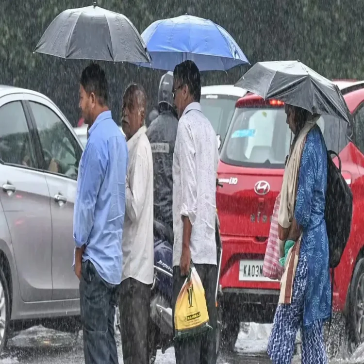
Monsoon Delay – Residents of Delhi are expected to experience cloudy skies, thunderstorms, and light rainfall across several areas, with weather conditions likely to remain similar over the next few days. According to forecasts issued by the India Meteorological Department (IMD), intermittent rain and thunderstorm activity may continue until June 21, offering some relief from the prevailing heat.
Thunderstorms Expected Across the Capital
The national capital has witnessed changing weather patterns in recent days, and meteorologists expect occasional showers accompanied by thunder and gusty winds to persist through the weekend. These conditions are being driven by atmospheric instability over northern India, which is creating favorable circumstances for localized rainfall.
While the showers may bring temporary comfort, weather experts believe they are not directly linked to the arrival of the southwest monsoon in Delhi. Instead, they are part of pre-monsoon weather activity commonly observed during this period.
Monsoon Arrival May Be Pushed Into July
Meteorologists now suggest that Delhi could see the onset of the southwest monsoon later than usual this year. Traditionally, the monsoon reaches the city around June 27. However, current weather assessments indicate that its arrival may be postponed until the first week of July.
Experts attribute the likely delay to the absence of key atmospheric systems that typically help the monsoon advance steadily across northern parts of the country. Without these supporting weather mechanisms, the seasonal rain-bearing winds have struggled to progress at their normal pace.
Role of Bay of Bengal Weather Systems
Weather specialists explained that a low-pressure system generally develops over the Bay of Bengal around June 18 or June 19. Once formed, it helps strengthen moisture transport across the Indian subcontinent. Easterly winds then assist in drawing moisture-rich air from the Arabian Sea toward southern regions of the country.
As the system moves inland, it usually travels through Odisha, Bihar, and eastern Uttar Pradesh. This movement plays an important role in creating a cyclonic circulation pattern that supports the northward advance of the monsoon. Such circulation helps channel moisture deeper into the interior regions, eventually aiding the monsoon’s progress toward northwestern India, including Delhi.
Lack of Favorable Conditions Slowing Progress
This year, the expected weather setup has not developed strongly enough to accelerate the monsoon’s movement. Forecasters note that the absence of a robust low-pressure system and related circulation has limited the seasonal winds from advancing as quickly as they normally do.
As a result, weather agencies continue to closely monitor developments over the Bay of Bengal and surrounding regions for signs of stronger atmospheric activity that could support further monsoon advancement in the coming days.
Rainfall Deficit Raises Concerns
The delayed progress of the monsoon comes at a time when India is already facing a significant shortfall in rainfall. Data for the period between June 4 and June 18 indicates that the country recorded rainfall levels substantially below normal, with a deficit of 41%.
A prolonged delay in monsoon expansion could have implications for agriculture, water availability, and seasonal planning in several regions. However, meteorologists remain hopeful that improved weather systems over the coming weeks will help reduce the rainfall gap and support the broader monsoon season across the country.