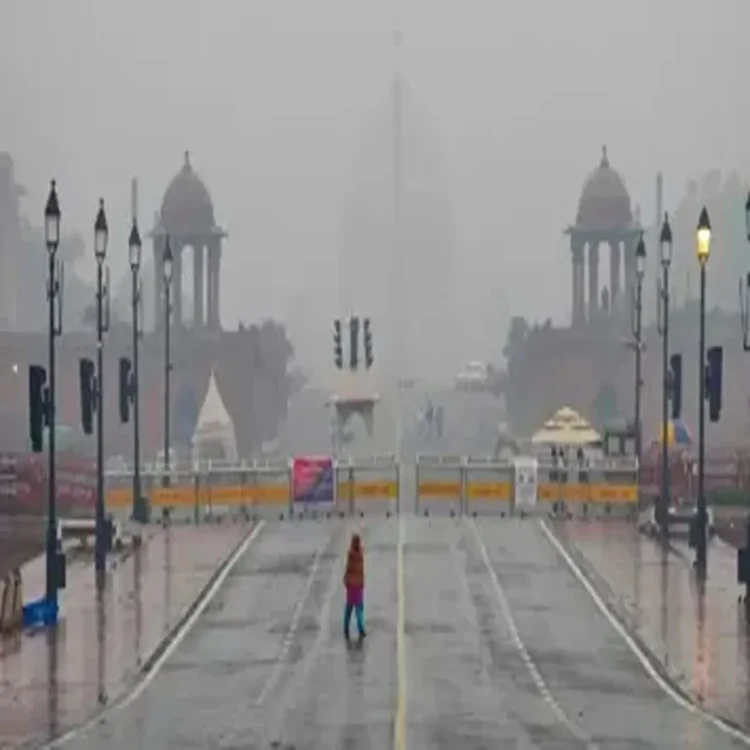
Weather – Delhi Sees Gradual Temperature Rise After Days of Rain
Weather – Delhi witnessed a noticeable rise in temperatures on Thursday after a spell of rain and cooler-than-usual weather over the past few days. The maximum temperature reached 30.8°C, still below the seasonal average but marking a shift toward warmer conditions. According to forecasts, this upward trend is expected to continue over the coming days, supported by clear skies and strong surface winds.
Temperature Trends Across Key Weather Stations
Data from various monitoring stations across the city showed that temperatures remained below normal, despite the recent increase. Safdarjung, considered the base station for Delhi’s weather readings, recorded a maximum of 30.8°C, which is 4.3 degrees below normal levels. Palam reported a lower maximum of 29.6°C, nearly 6 degrees below average.
Other stations reflected a similar pattern. Lodhi Road recorded 30.6°C, Ridge reported 31.0°C, and Ayanagar saw a high of 30.5°C. While these readings indicate a gradual warming, they still fall short of typical temperatures expected at this time of year.
Minimum Temperatures Also Stay Below Normal
Night temperatures across Delhi also remained cooler than usual. Safdarjung recorded a minimum of 16.3°C, while Palam dropped to 14.6°C. Lodhi Road saw a low of 15.2°C, Ridge recorded 14.5°C, and Ayanagar measured 16.2°C.
These figures highlight that while daytime temperatures are beginning to climb, early morning and nighttime conditions continue to feel relatively mild compared to seasonal norms.
Limited Rainfall Activity Observed
Rainfall activity in the city has been minimal. Palam recorded a cumulative rainfall of 1.2 mm until 8:30 am, while most other weather stations reported either no rainfall or only trace amounts. This reduced precipitation is expected to contribute to the gradual increase in temperatures in the days ahead.
Weather experts noted that the recent rain spell had temporarily suppressed temperatures, but with changing atmospheric conditions, a steady warming trend is now likely.
Forecast Indicates Clear Skies and Strong Winds
The India Meteorological Department (IMD) has predicted that Friday will see a minimum temperature of around 17°C and a maximum close to 33°C. Strong surface winds are also expected during the daytime, which may influence how temperatures are felt across the city.
Officials have indicated that temperatures are likely to rise significantly across northwest India. The western Himalayan region could see an increase of 6 to 8 degrees Celsius, while the northern plains may experience a sharper rise of 8 to 10 degrees Celsius. Clear skies are expected to prevail, further supporting the warming trend.
Air Quality Remains in Moderate Category
Alongside changing weather conditions, Delhi’s air quality was recorded in the ‘moderate’ category, with an Air Quality Index (AQI) of 101. According to Central Pollution Control Board (CPCB) standards, AQI levels between 101 and 200 fall under the moderate range.
This means that while air quality is not considered hazardous, it may still pose minor health concerns for sensitive groups. The combination of rising temperatures and moderate air quality levels will be closely monitored in the coming days.
Outlook for the Coming Days
Meteorologists suggest that the recent phase of cooler weather is ending, and a more typical pre-summer pattern is likely to take hold. With clear skies, increasing temperatures, and minimal rainfall expected, residents can anticipate warmer days ahead.
However, the presence of strong surface winds may provide some temporary relief during daytime hours. Overall, the city appears to be transitioning steadily toward higher temperature conditions typical of the approaching summer season.