Weather – Western Disturbance Triggers Rainfall and Temperature Drop Across Northern India
Weather – A fresh spell of unsettled weather has begun affecting large parts of northern India as an active western disturbance moves across the region. The system has brought light to moderate rainfall along with a noticeable fall in daytime temperatures, altering conditions in several northern and northwestern states.
Storm Alerts Issued Across Multiple States
The India Meteorological Department has warned of unstable weather conditions in at least 11 states, including Delhi, Uttar Pradesh, and Bihar. According to forecasts, several areas may experience thunderstorms accompanied by strong winds, with speeds potentially reaching up to 85 kmph. A yellow alert has been issued for Delhi, signaling the possibility of rain, gusty winds, and thunderstorm activity during the day.
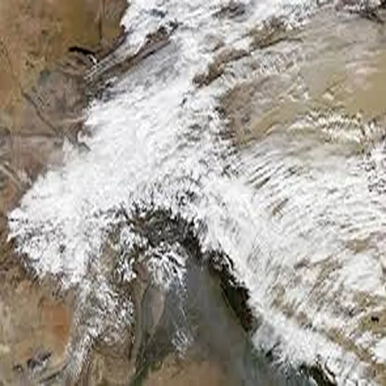
Impact Extends to Mountain Regions
The changing weather is not limited to the plains. Hilly regions are also expected to feel the impact of the system. Parts of Jammu and Kashmir and Himachal Pradesh may face hazardous conditions, including the risk of landslides and avalanches. Authorities have advised residents and travelers in these areas to remain cautious as weather patterns continue to shift.
Drop in Temperatures Likely
Increased wind activity associated with the disturbance is expected to lower minimum temperatures by around 2 to 3 degrees Celsius. This drop will likely bring cooler mornings and evenings, offering temporary relief from the rising heat typically seen during this time of year.
Weather Outlook for Delhi-NCR
For Wednesday, the Delhi-NCR region is expected to witness cloudy skies along with intermittent rainfall and strong winds. Thunderstorm activity may occur in isolated areas, with one or two brief spells of rain anticipated throughout the day. The minimum temperature in the capital is likely to remain around 16 degrees Celsius, while the maximum could reach close to 27 degrees Celsius.
Gradual Improvement Expected Later This Week
Conditions in Delhi are forecast to improve gradually after midweek. Thursday may bring partly cloudy skies, and from April 10 onwards, clearer weather is expected. During this period, temperatures are likely to rise steadily, with daytime highs possibly reaching between 33 and 34 degrees Celsius by April 11.
Rainfall Forecast in Uttarakhand
Several districts in Uttarakhand, including Dehradun, Nainital, Chamoli, and Pithoragarh, are expected to receive light to moderate rainfall on April 8 and 9. These showers may be accompanied by winds of up to 60 kmph, potentially affecting local travel and outdoor activities.
Himachal Pradesh Braces for Heavier Showers
In Himachal Pradesh, weather conditions are expected to be more intense. Districts such as Shimla, Kullu, Mandi, Kangra, and Kinnaur may experience moderate to heavy rainfall between April 8 and April 10. The continued influence of the western disturbance is likely to keep the region under cloudy and wet conditions for several days.
Overall Weather Trend
The current spell of rain and wind is part of a broader seasonal transition driven by western disturbances, which frequently influence northern India during this period. While the immediate impact includes cooler temperatures and rainfall, conditions are expected to stabilize gradually, with a return to warmer weather in the coming days.