
Infrastructure – Delhi Plans Five Modern Road Corridors With Cleaner Urban Design
Infrastructure – The Delhi government has started work on an ambitious corridor redevelopment plan aimed at improving traffic movement, reducing dust pollution and creating safer public spaces across several busy routes in the national capital. Officials said five important road stretches have been shortlisted for transformation into modern corridors designed to support pedestrians, cyclists and local economic activity while also addressing long-standing environmental concerns.
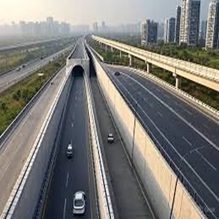
The proposal was reviewed during a high-level meeting chaired by Lieutenant-Governor Taranjit Singh Sandhu. Representatives from multiple road-owning departments and experts from the School of Planning and Architecture participated in the discussion. The planning institute is currently assisting authorities in preparing a wider decongestion strategy for Delhi’s transport network.
Focus on Reducing Dust and Air Pollution
During the meeting, the Lieutenant-Governor highlighted the need to tackle road dust and related air pollution on some of the city’s busiest stretches. Officials familiar with the discussions said the redevelopment model is aligned with recommendations made by the Commission for Air Quality Management.
The redesign of these corridors is expected to improve the overall urban environment while encouraging citizens to make greater use of public infrastructure. Authorities believe that better-designed roads with pedestrian facilities and public activity zones can strengthen community participation and improve maintenance standards over time.
According to officials, the selected stretches will eventually function as round-the-clock urban corridors with cleaner surroundings, landscaped areas and improved public access. The plan also aims to support recreational activities and local employment opportunities through carefully designed commercial and vending spaces.
Drainage Network Planned to Prevent Waterlogging
One of the major features of the redevelopment plan is a scientifically designed stormwater drainage system. Authorities said this system is intended to reduce flooding during the monsoon season and stop the accumulation of silt on roads.
Officials noted that clogged roads and waterlogging often worsen traffic congestion during heavy rainfall. By ensuring faster water drainage, the authorities expect smoother traffic flow and lower maintenance challenges. Reduced silt deposits are also likely to contribute to better air quality by limiting dust formation on road surfaces.
The redevelopment blueprint additionally includes green central verges with grass coverage and underground irrigation systems. Officials said the use of piped irrigation would reduce the need for water tankers currently used to maintain roadside greenery. This step is expected to lower traffic disruptions caused by tanker movement and prevent mud spillage on roads.
Better Facilities for Pedestrians and Cyclists
The redevelopment project places strong emphasis on non-motorised transport and public convenience. Proposed improvements include wider pedestrian pathways, dedicated cycling tracks and resting shelters for commuters.
Authorities are also considering public utility areas and designated vending zones that could be linked with cultural activities and informal craft markets. Officials believe such spaces may help encourage commercial activity during evening hours while creating more organised facilities for vendors.
Street lighting upgrades and short-duration parking spaces are also part of the proposal. Surveillance systems are expected to be installed to strengthen public safety, particularly for women and children using these corridors during late hours.
Five Key Corridors Identified for Redevelopment
The road stretches selected for the project include Minto Road to ITO and Karkardooma; Minto Road through Aruna Asaf Ali Marg and Jawaharlal Nehru Marg up to Delhi Gate; Netaji Subhash Marg and the Yamuna-side Mahatma Gandhi Marg corridor extending toward ITO and the IT Estate Metro Station; Dhaula Kuan to Jail Road and Tilak Nagar Crossing; and the Najafgarh Road stretch connecting Uttam Nagar, Tilak Nagar and Rajouri Garden.
Officials said these routes were chosen because of their heavy traffic movement and strategic importance within Delhi’s transport network.
Sustainable Construction Methods Suggested
The Lieutenant-Governor also instructed planners to adopt environmentally sustainable construction methods while designing pavements and walkways. Officials said the proposed materials should allow groundwater recharge while remaining durable enough to reduce frequent repair work.
Urban planners involved in the exercise believe the model corridors could serve as examples for future redevelopment projects across Delhi if implemented successfully. The initiative is expected to combine environmental management, traffic improvement and public convenience within a single urban planning framework.