Weather – Low-Pressure System Likely Over Bay of Bengal Saturday
Weather – A fresh weather system may take shape over the Bay of Bengal this weekend, as atmospheric conditions turn favourable for its formation.
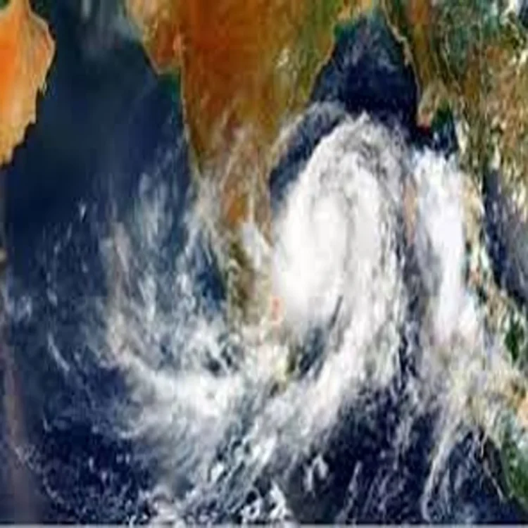
The Regional Meteorological Centre in Chennai has indicated that a low-pressure area is expected to develop over the Bay of Bengal on Saturday. According to the latest bulletin, an upper-air cyclonic circulation over the east-central Indian Ocean and the adjoining southeast Bay is gradually strengthening, creating the right environment for the formation of the system.
Atmospheric Conditions Turning Favourable
Meteorologists have observed steady changes in wind patterns and moisture levels over the region. These developments, they said, are consistent with the early stages of low-pressure formation. While the system has not yet fully formed, the evolving circulation suggests that it could consolidate over the sea in the coming hours.
Officials clarified that no heavy rainfall warning has been issued at this stage. However, weather experts are keeping a close watch, as such systems over the Bay of Bengal can influence rainfall distribution and wind speeds along the Tamil Nadu coast depending on their track and intensity.
Low-pressure systems are a common feature over the Bay, especially during transitional seasons. Their eventual movement plays a crucial role in determining whether coastal or interior districts experience significant weather changes.
Fog to Affect Several Districts
Even as attention remains on the developing system over the sea, parts of Tamil Nadu are expected to witness foggy conditions over the next two days. On Friday morning, light fog is likely in at least 13 districts, including Chennai, Tiruvallur, Kancheepuram, Chengalpattu, Krishnagiri, Dharmapuri, Salem, Namakkal, Dindigul, The Nilgiris, Ranipet, Vellore and Tirupattur.
Weather officials have also forecast moderate fog in Chennai, Tiruvallur and Chengalpattu on Saturday morning. Reduced visibility during early hours could affect road travel, particularly along highways and suburban routes.
Motorists have been advised to drive cautiously, use fog lights where necessary and allow extra travel time during morning commutes. Authorities said visibility levels may improve gradually after sunrise as temperatures begin to rise.
Gradual Rise in Daytime Temperatures
In addition to fog, a marginal increase in maximum temperatures is expected across Tamil Nadu, Puducherry and Karaikal over the next 24 hours. Interior districts may record a rise of a few degrees Celsius compared to recent days.
The weather department noted that while the increase is not expected to be extreme, daytime conditions could feel warmer, especially in areas away from the coast. Coastal regions may continue to experience relatively milder temperatures due to sea breeze influence.
Residents have been advised to stay hydrated and limit prolonged exposure to direct sunlight during peak afternoon hours. Health experts typically recommend wearing light clothing and ensuring adequate fluid intake during periods of rising heat.
Advisory for Fishermen and Coastal Residents
Given the possibility of a low-pressure system forming over the Bay of Bengal, fishermen and coastal communities have been urged to stay updated with official weather advisories. Although no immediate warning has been issued, conditions at sea can change quickly once a system intensifies.
Authorities emphasised that regular updates will be released as the situation becomes clearer. The eventual impact on Tamil Nadu and neighbouring regions will depend on the strength and path of the system once it fully develops.
For now, officials continue to monitor the evolving weather pattern closely, balancing caution with reassurance as the state prepares for potential changes in the coming days.